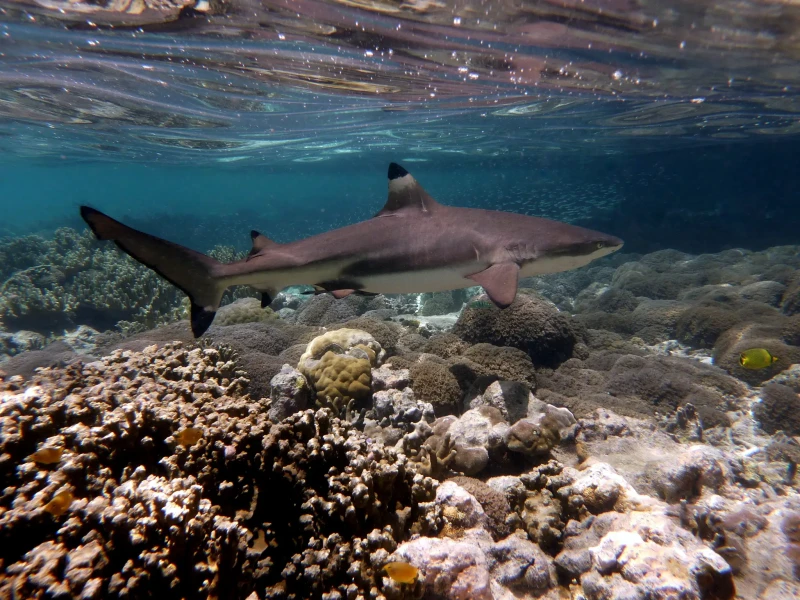
Blacktip Reef Sharks
These sharks are commonly found in the shallow waters surrounding the island and are generally non-aggressive toward snorkelers.
Keep your distance and remain calm to observe their natural movement.

Sri Lanka has reef worth swimming on three different coasts, and only one of them is reliably readable at any given time of year. This snorkeling Sri Lanka map guide plots the anchor sites — Pigeon Island, Hikkaduwa, Polhena, Bar Reef — and explains what separates them. It also fixes the one address and arrival window that matter most on the east coast.
Quick answer
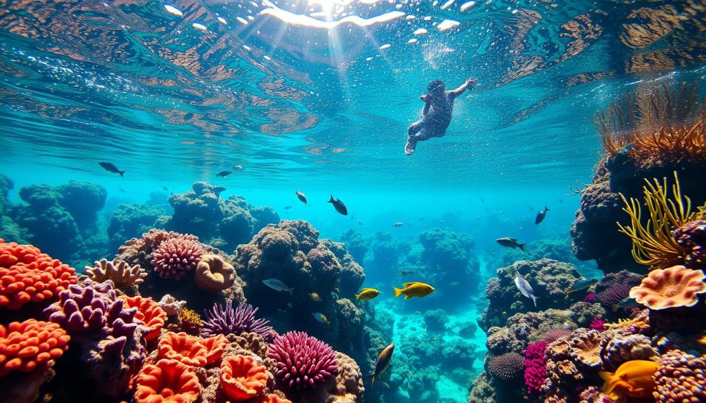
Sri Lanka's snorkeling map splits into three clusters: the east coast around Pigeon Island National Park, Nilaveli, Trincomalee; the south-west reefs near Hikkaduwa and Unawatuna; and the north-west Bar Reef off Kalpitiya. Pigeon Island anchors the east, open 06:00–18:00 daily with a 20 USD conservation fee. Arrive 06:00–10:00, before afternoon wind flattens visibility.
Pigeon Island served as a shooting range during the colonial period. It was declared a sanctuary in 1963 and gazetted as a national park in 2003. Its fringing reef now shelters more than a hundred coral species and several hundred reef fish, which is why almost every snorkeling Sri Lanka map puts the island at the top of the page. Known locally as Paravi Duwa, it lies roughly a kilometre off the sand at Nilaveli, Trincomalee, and is reached only by boat. The shallow lagoon on the northern side sits in waist-deep water. Beyond the staghorn thickets, the floor drops and black-tip reef sharks work the edge. The country's reefs do not share one calendar, and that is the real information a map carries. Two monsoons split the island. The east coast — Nilaveli, Uppuveli, the bays north of Trincomalee harbour — settles while the south-west monsoon blows across the other half of the country. The south and west reverse it. Hikkaduwa's coral sanctuary, the bay at Unawatuna, and the shore reef at Polhena near Matara read best under the opposite wind. Off the north-west, Bar Reef beyond Kalpitiya is the largest reef system in Sri Lankan waters, broad and shallow, and entirely dependent on a settled sea. Hawksbill and green turtles graze several of these sites. A route that works in one month can be flat, silted and pointless in another, which is why travellers who plan a Pigeon Island snorkeling tour around a fixed date often end up driving the length of the country for nothing. Used well, the map is a sequence rather than a list. Pick the coast that is in season, then pick the site that matches the swimmer. Polhena and the Nilaveli lagoon are shore-entry or near-shore; Bar Reef and the Great Basses are offshore, boat-only, and unforgiving in chop. Morning hours hold the clearest water almost everywhere, a pattern the park's own arrival advice follows. Rangers at Pigeon Island enforce the basics: no standing on coral, no feeding, no shell collecting, fins clear of the reef. Reef shoes matter on the eastern beach rock. A plotted snorkeling Sri Lanka map is also a booking document — boat places at Nilaveli and guided reef trips on the south coast fill from first light, and the sites with the best coral cover are the ones that go first.
“The map is not a list of reefs; it is a calendar wearing the shape of a coastline.”
Optimal snorkeling conditions in Sri Lanka depend on the two monsoon seasons, which dictate visibility on the east and west coasts. Planning your visit around these shifting patterns ensures calmer seas and clearer water.
Dry and sunny, 28–32°C
The northeast monsoon retreats, creating clear water perfect for Pigeon Island snorkeling.
Warm and dry, 27–31°C
The southwest monsoon subsides, allowing for calm seas along the southern and western reefs.
—
The best arrival window is 06:00–10:00 to avoid stronger afternoon winds and maximize water visibility.
Verdict: Plan your trip to the East Coast during July or August, arriving between 06:00 and 10:00 to utilize the optimal daily window.
Pigeon Island National Park operates daily to accommodate visitors interested in snorkeling and marine exploration. The park maintains consistent hours throughout the week.
Admission to Pigeon Island National Park is managed through a mandatory conservation fee. This cost is required for all adult visitors entering the park area.
Verdict: A typical adult visitor pays a 20 USD conservation fee, while total costs fluctuate based on private boat transport arrangements.
Pigeon Island National Park is located off the coast of Nilaveli, near Trincomalee. Access to the island requires arranging local boat transport from the mainland beach.
Route 49/1 Colombo to Trincomalee, then local bus to Nilaveli
A6 highway to Trincomalee, followed by B424 to Nilaveli
Local motorboat from Nilaveli Beach to Pigeon Island
Plan your arrival for the best arrival window of 06:00–10:00. This early start avoids stronger afternoon winds and maximizes water visibility for snorkeling.
Pigeon Island National Park hosts a diverse marine ecosystem characterized by shallow coral reefs and frequent sightings of protected species. These zones provide clear visibility for observing the interaction between resident reef sharks and various tropical fish.
These sharks are commonly found in the shallow waters surrounding the island and are generally non-aggressive toward snorkelers.
Keep your distance and remain calm to observe their natural movement.
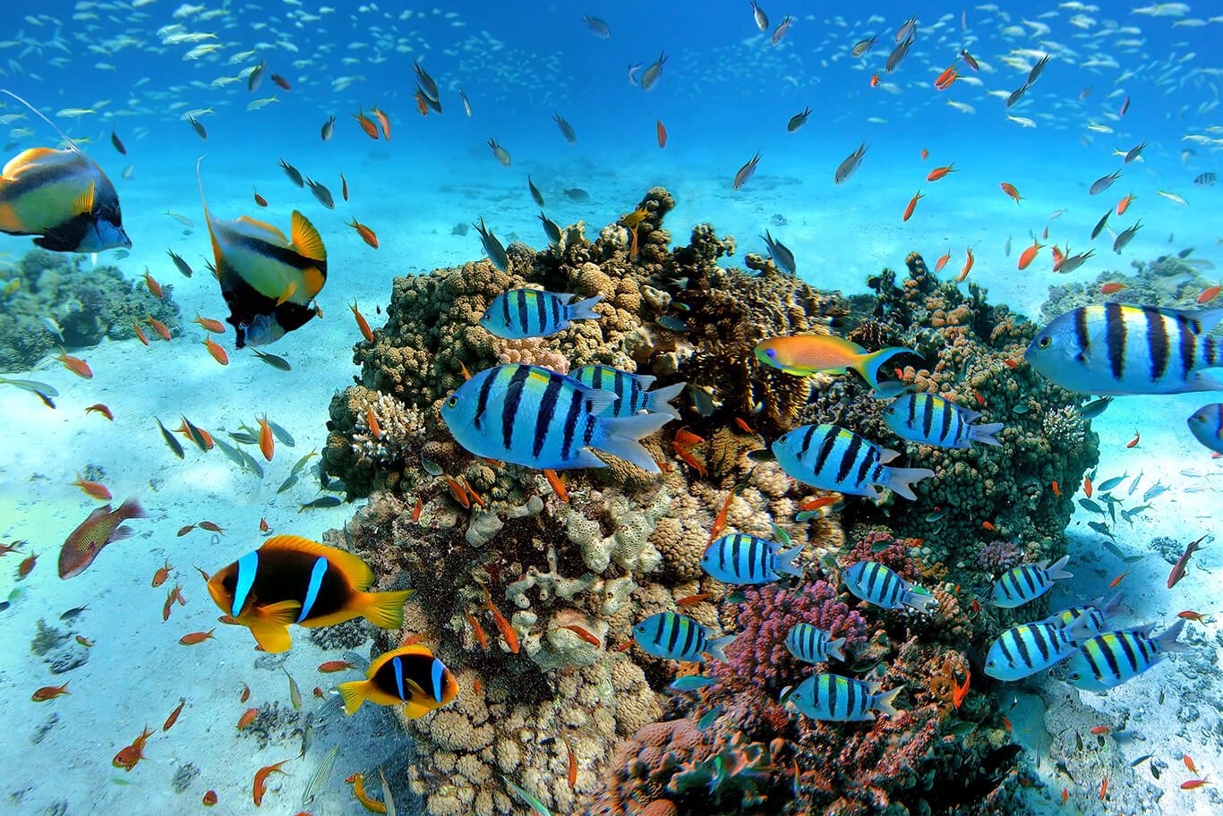
The reef hosts numerous species of hard and soft corals that create complex habitats for marine life.
Look for small macro life hiding within the coral branches.
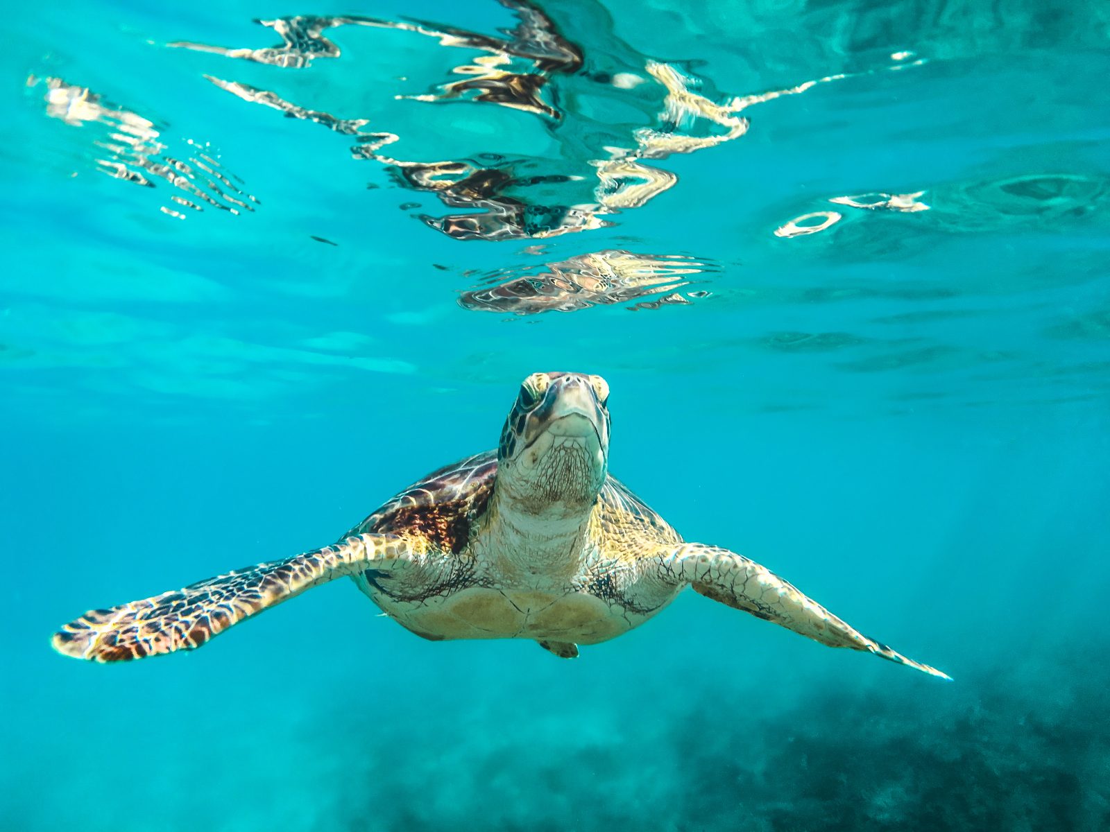
Large sea turtles often inhabit the seagrass beds and reef perimeters near the island.
Slowly swim parallel to the turtles to avoid startling them.
Various species including parrotfish, butterflyfish, and snappers congregate in large schools throughout the reef.
Check the deeper reef edges for the highest concentration of fish.
Prepare these essentials before visiting any snorkeling site in Sri Lanka to ensure a smooth experience.
Everything you need to know about snorkeling sri lanka map
A snorkeling sri lanka map typically highlights Pigeon Island National Park as a premier destination near Nilaveli. You can use this resource to visualize your route to the coast before departing.
Yes, these maps are excellent for identifying marine sanctuaries where coral reefs and diverse tropical fish are protected. Understanding these boundaries helps you adhere to local conservation regulations while exploring the Indian Ocean.
You should consult your snorkeling itinerary during the early morning hours, specifically between 06:00 and 10:00. Arriving early during this window helps you avoid stronger afternoon winds and ensures better water visibility for your underwater activities.
While a snorkeling sri lanka map shows general locations, actual entry points are often accessed via local boat services in Trincomalee. Navigating these waters requires local expertise to safely reach the best swimming zones around the coral formations.
No, the 20 USD conservation fee per adult visitor covers entry to the park but excludes boat transport costs. You will need to arrange for a separate boat service to reach the island from the Nilaveli shore.
Visiting the national park is generally suitable for families, though water conditions can change rapidly. Always check the weather forecast and local guidance before entering the sea with children.
Most maps focus on geographic locations rather than specific gear shops. It is recommended to verify rental availability with local operators in Nilaveli before you head out to the water.
Snorkeling the South Coast
Read more Tickets & toursPigeon Island Snorkeling
Read more GuideSnorkeling with Turtles in Sri Lanka
Read more GuideShore Snorkeling in Sri Lanka
Read more Tickets & toursMirissa Snorkeling Experiences
Read more Tickets & toursTrincomalee Snorkeling Tours
Read more GuideHikkaduwa Snorkeling Guide
Read more